Geophysical Scanning Services
Advanced Subsurface Detection & Remote Sensing Solutions
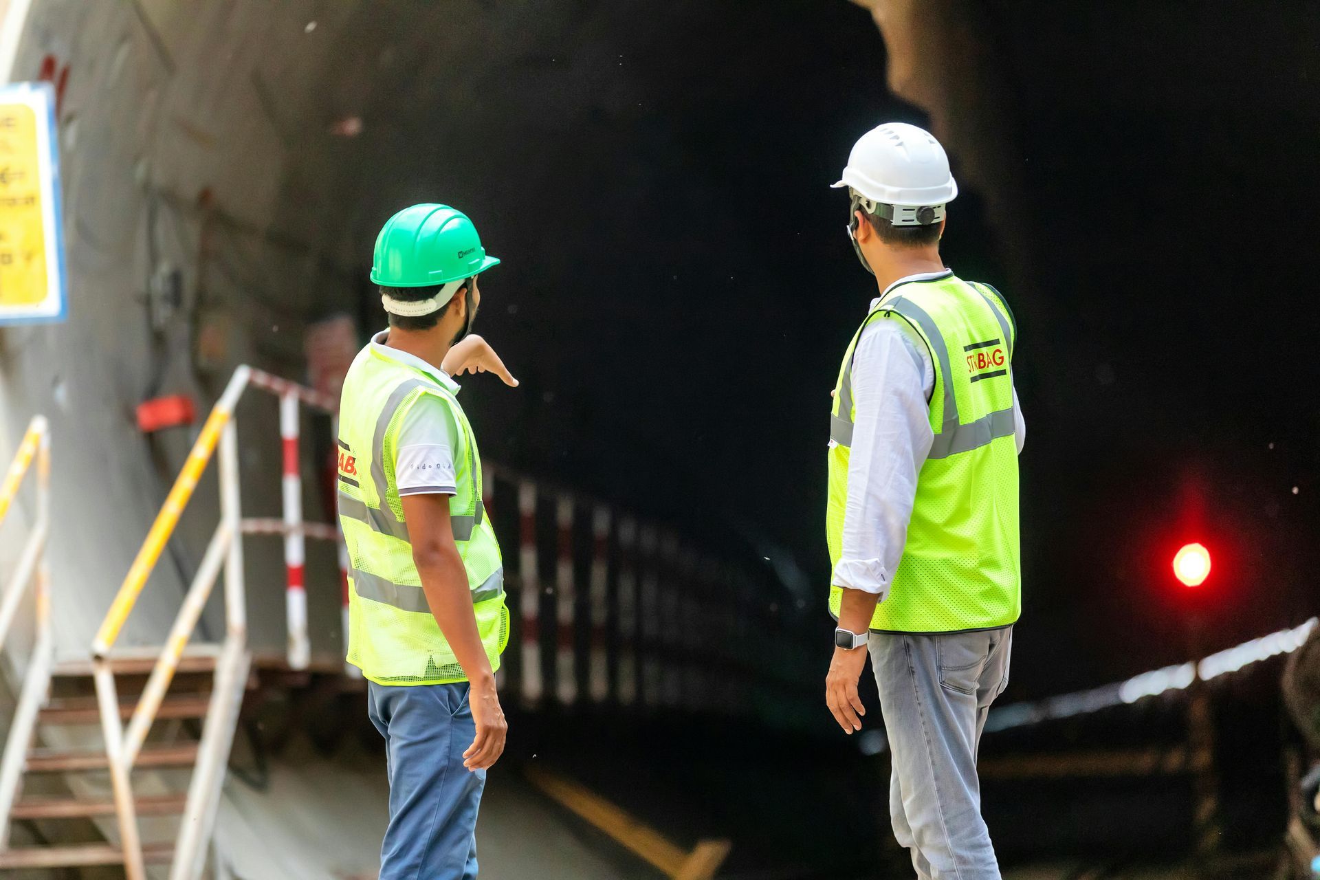
Skyline Engineering and CMT Services provides advanced geophysical scanning services designed to identify what lies beneath the surface—without excavation.
Based in Pearland, TX, we use modern remote sensing technology to detect underground structures, materials, utilities, and even water sources. This capability supports construction, infrastructure planning, environmental projects, and large-scale development where accuracy and efficiency are critical.
Our scanning solutions reduce uncertainty, minimize risk, and provide valuable data before you build.
Why Geophysical Scanning Matters
Subsurface conditions can significantly impact project success. Without accurate data, projects may face delays, unexpected costs, or structural risks.
Geophysical scanning helps:
- Identify underground utilities and structures
- Detect voids, anomalies, and subsurface conditions
- Locate water sources and material deposits
- Reduce the need for invasive excavation
- Improve planning and design accuracy
- Minimize project risk and costly surprises
With Skyline Engineering, you gain a clearer understanding of your site before construction begins.
Our Geophysical Scanning Capabilities
We provide a range of advanced scanning and detection services tailored to complex project needs.
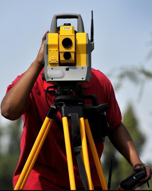
Subsurface Utility Detection
We identify underground utilities such as pipes, conduits, and infrastructure to prevent damage during construction and excavation.
Material & Structural Identification
Our technology allows us to detect buried materials, structural elements, and anomalies that may impact design or construction.
Water Detection & Resource Location
Using advanced remote sensing methods, we can locate underground water sources—supporting water system development, environmental planning, and infrastructure projects.
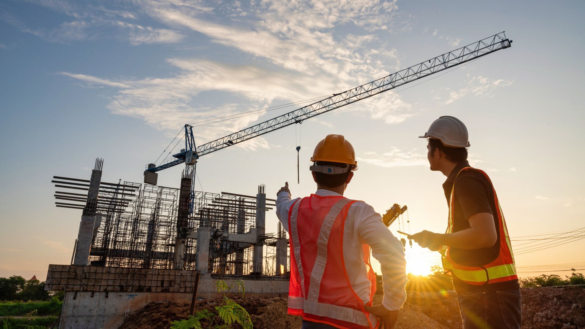
A Powerful Tool for Modern Engineering Projects
Geophysical scanning is especially valuable for:
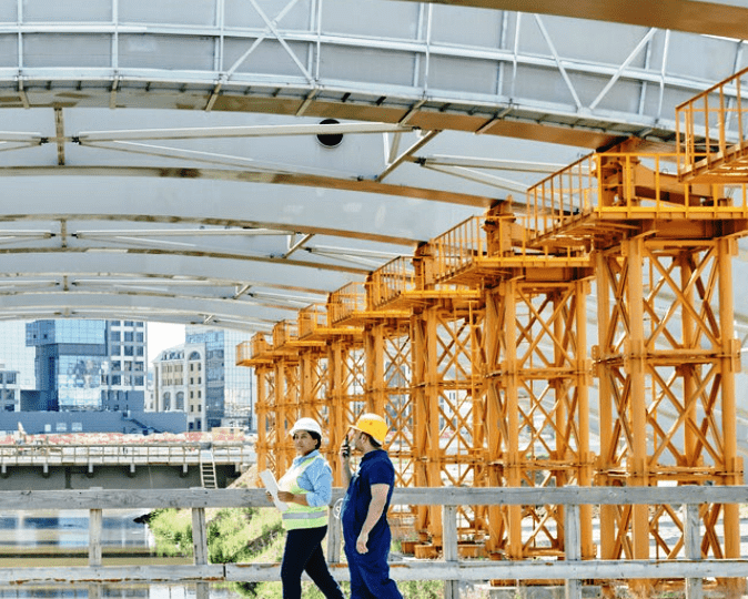
- Infrastructure development and planning
- Roadways, bridges, and interchange projects
- Utility systems tied to water and power
- Environmental and water resource projects
- Large-scale commercial and industrial developments
- International and Caribbean-based projects
This technology provides a significant advantage in projects where subsurface conditions are unknown or complex.
Innovative Technology with Real-World Impact
Skyline Engineering integrates modern, emerging scanning technologies that have only become widely available in recent years.
These tools allow us to:
- Deliver faster, more accurate subsurface data
- Support high-level infrastructure and utility planning
- Improve decision-making early in the project lifecycle
- Reduce reliance on traditional, time-consuming methods
Our approach combines innovation with engineering expertise—turning advanced data into practical solutions.
Integrated with Engineering & Design Services
Our geophysical scanning services are fully integrated with our engineering capabilities.
This means:
Data directly informs structural and design decisions
Better coordination between scanning and construction teams
More accurate planning and reduced redesign risk
Seamless support from analysis through execution
We don’t just collect data—we help you use it effectively.
Clear Reporting & Actionable Insights
We provide clear, easy-to-understand reports that translate complex data into actionable information.
Our deliverables include:
Detailed findings and analysis
Visual representations of subsurface conditions
Recommendations for design and construction
Documentation for planning and compliance
Our goal is to give you clarity—not complexity.
Why Choose Skyline Engineering for Geophysical Scanning
- Advanced remote sensing and detection technology
- Ability to locate water and subsurface materials
- Experience with large-scale and infrastructure projects
- Integration with structural and engineering services
- Fast turnaround and responsive communication
We provide a level of capability that goes beyond traditional engineering services.
Frequently Asked Questions
What is geophysical scanning used for?
It is used to detect underground utilities, materials, voids, and water sources without excavation.
Is this process non-invasive?
Yes. Geophysical scanning is a non-destructive method that minimizes disruption to the site.
Can you locate underground water sources?
Yes. Our advanced technology allows us to identify potential water locations for infrastructure and environmental projects.
Who benefits from this service?
Developers, contractors, municipalities, and infrastructure planners all benefit from accurate subsurface data.
How accurate is geophysical scanning?
Our methods provide highly accurate data, helping reduce uncertainty and improve project planning.
Gain Clarity Below the Surface
Make informed decisions with advanced geophysical scanning services from Skyline Engineering and CMT Services.
Or contact us through our form to learn more.
Start Your Project with Confidence
Partner with Skyline Engineering and CMT Services for dependable, high-level engineering solutions that deliver results.
Call now
Email us
Business Hours
8:00 AM – 5:00 PM M-F
Request a Consultation
Contact Us
We will get back to you as soon as possible.
Please try again later.